Visualise mobility changes before they happen.
Plan the fix.

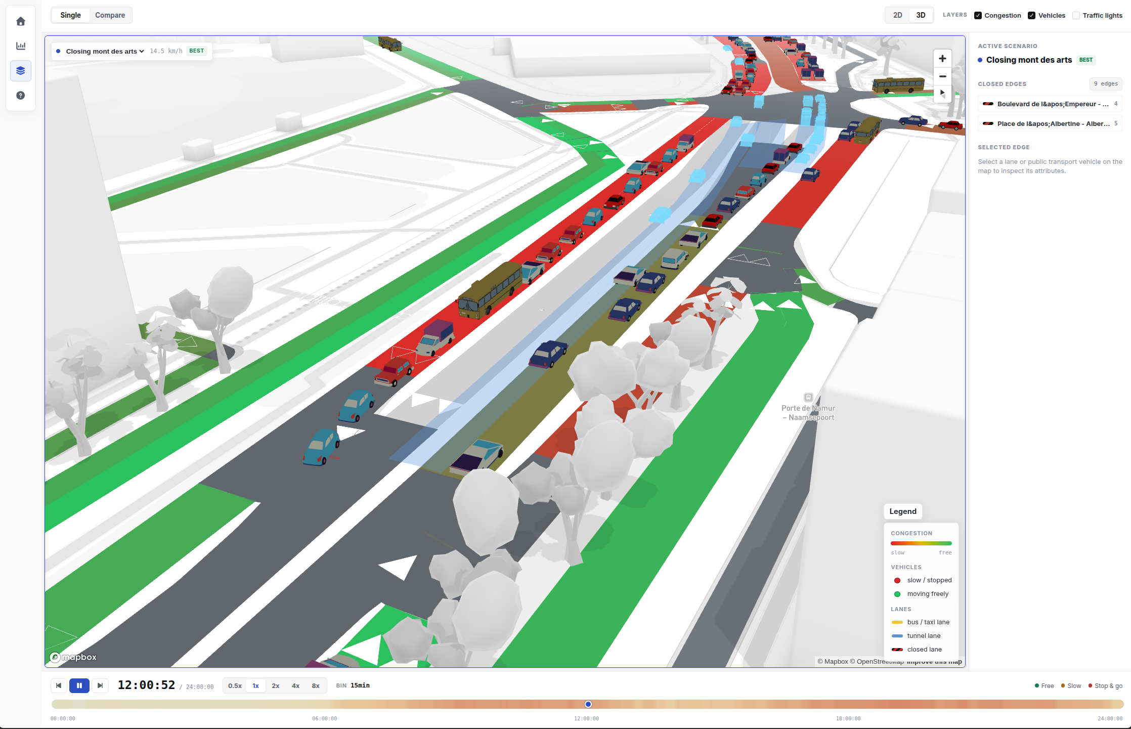
TrafficTwin helps understand how a road closure, event, or public transport change can affect traffic. You can compare options, see the impact on a map, and discuss decisions with clearer evidence.

Traffic planning dashboard with city roads, route lines, and comparison panels

A practical way to compare mobility options.

  • Plan road closures with less guessworkTest roadworks, events, and temporary traffic deviations before they are used.
  • Visualise and compare different mobility scenarios Compare public transport changes, traffic lights, lane speeds, lane closures, diversion plans,...
  • Share results people can readUse maps, visualisations, and various mobility indicators to support the discussion.

Case studies already available.

Bring your own mobility question.

TrafficTwin is most useful when there is a real decision to prepare: a closure, a diversion plan, a major event, or a public transport change.

Start a discussion